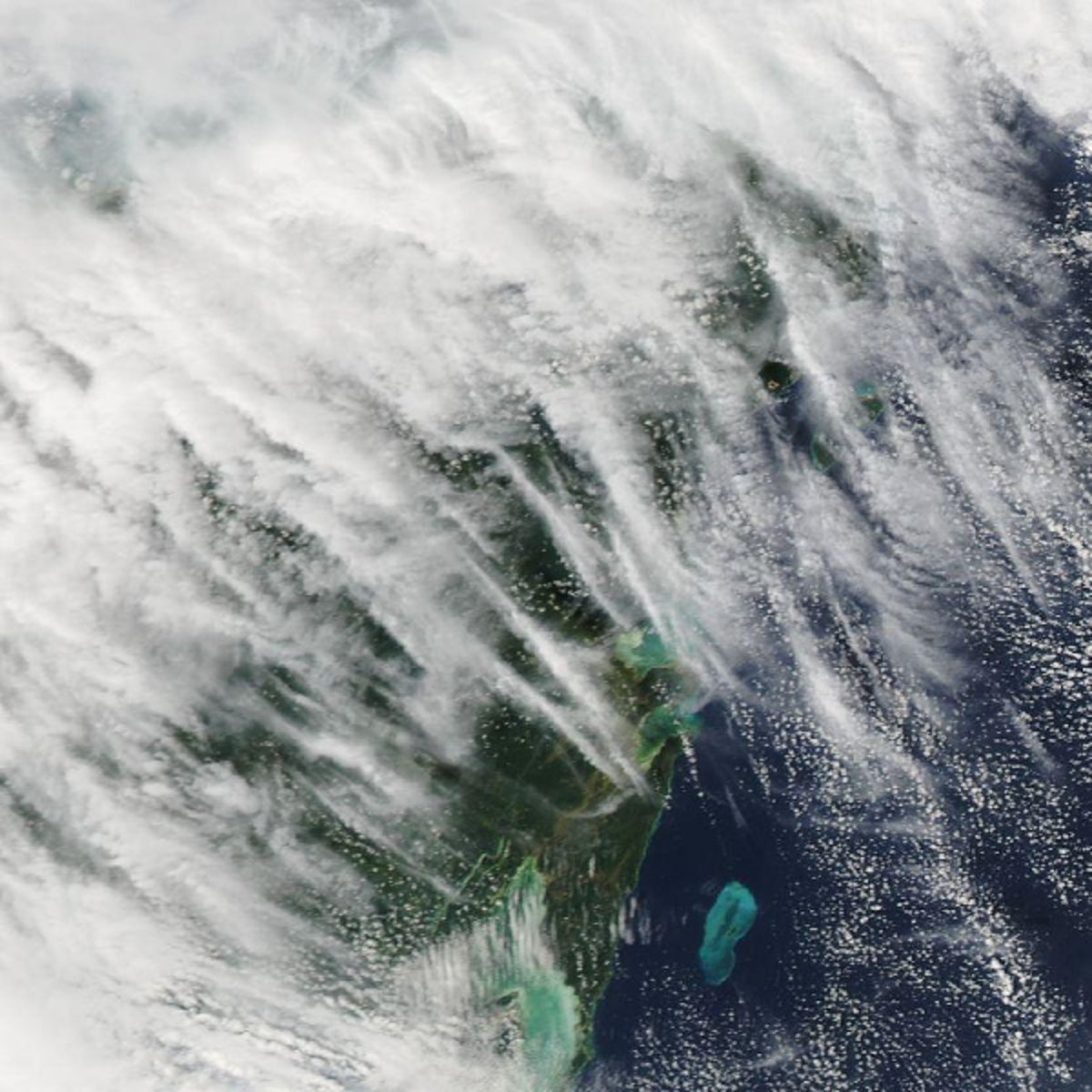
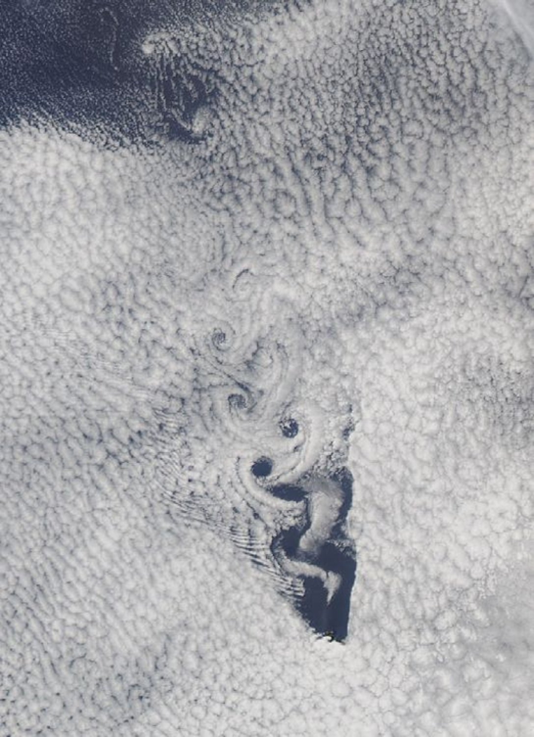
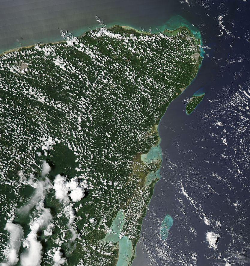
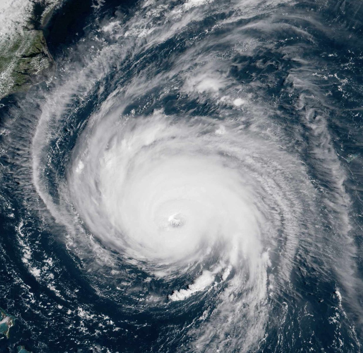
Image Labeler allows you to create and manage labeled Earth science images for machine learning. With Image Labeler, you can label images to indicate the presence or absence of a target Earth science phenomena. Additional features include: extraction of images from satellite imagery, drawing bounding boxes, and assigning teams for labeling.
Image Labeler has a user-friendly labeling interface to facilitate labeling multiple images at a time.
Labeling teams are supported with images assigned to each team member by a team leader. This allows a group of people to work simultaneously on labeling images for a target Earth science event.
Having labeled an image to contain an Earth science event, a user can draw bounding boxes to show the exact location of the event in the image.
Image Labeler allows you to save and download polygonal shape files. These can be used to indicate a particular area on the map for labeling purposes.
All images are stored in the cloud for scalability and quick accessibility. The folder structure is designed to facilitate machine learning.
Using cloud infrastructure and optimized background task queues, the Image Labeler is designed from the ground up with performance and scalability in mind.
Cramer Research Hall,
Sparkman Drive,
Huntsville, Alabama,
35805 US